Book driving lessons in Bolton
A real person replies, usually within the hour. Goes straight to the DriveSQ team.
- Your request goes straight to the DriveSQ team (it isn't sold or shared).
- We call or text you to match you with an instructor near your postcode.
- You pick a time. You get free access to the DriveSQ Student Portal to track progress and revise.
No payment is taken through this form. By sending it you agree we can contact you about your lessons. Privacy
Your nearest driving test centres from Smithills
Straight-line distances from the middle of Smithills ward to DVSA's own test centre locations, with each centre's official 2025-26 figures. Waits are DVSA's median for September 2026. ✓ = a centre a Bolton test can be moved to under the 2026 rules.
| Centre | Distance | Pass rate | First time | Automatic | Median wait | Tests there |
|---|---|---|---|---|---|---|
| BoltonWeston Street, Bolton, BL3 2AW | 2.5 mi | 51.8% | 52.8% | 46.7% | 12.4 wks | car, ADI part 2, ADI part 3 ♿ wheelchair access |
| Atherton ✓Gibfield Park Avenue, Atherton, Manchester, M46 0SU | 4.6 mi | 44.3% | 45.1% | 37.9% | 10.0 wks | car, motorcycle module 1 (off-road), motorcycle module 2 (on-road), lorry and bus, ADI part 2, ADI part 3 ♿ wheelchair access |
| Bury ✓Smith Street, Bury, BL9 6HH | 7.4 mi | 46.3% | 45.7% | 38.9% | 5.7 wks | car, ADI part 3 |
| ChorleyRossall Road, Chorley, PR6 0BT | 7.8 mi | 52.8% | 54.0% | 46.2% | 5.4 wks | car, ADI part 3 ♿ wheelchair access |
Bolton test centre is at Weston Street, Bolton, BL3 2AW. A test booked there can only be moved to Atherton, Bury or Cheetham Hill. Full Bolton test centre data · compare the centres.
Theory test: 1.6 miles to Bolton
The nearest theory test centre is Suite 2A, Second Floor, Knowsley House, 4-6 Knowsley Street, Bolton, BL1 2AH. In 2025-26, 41.7% of car theory tests there were passes (Great Britain 44.8%).
The main roads through Smithills
OS Open Roads lists 267 named roads in Smithills. These are its A and B roads — the busier routes where you'll practise junctions, roundabouts and lane discipline:
No Bolton bus lanes or proposed box-junction camera sites fall inside Smithills. See all 14 bus lanes and their hours.
20mph: Bolton made around 2,500 residential streets 20mph by 2017, with more since — watch for the repeater signs on estate roads.
Is your postcode in Smithills?
Type your full postcode to see your nearest road, nearest test centre and book.
Covers all 343 postcodes in Smithills ward. Nearest road from OS Open Roads.
Every named road in Smithills (A–Z)
Your instructor picks you up from home, college or work anywhere in the area.
AAbbotsford Road, Abercorn Road, Arnold Street, Ash Grove, Ash Lawns, Ashington Close, Aspen Close, Avon Street
BBack Arnold Terrace, Back Bennets Lane West, Back Bennetts Lane, Back Bennetts Lane East, Back Bentinck Street, Back Bowen Street, Back Burnham Avenue, Back Chapman Street, Back Chorley New Road North, Back Chorley Old Road, Back Chorley Old Road North, Back Chorley Old Road South, Back Church Road, Back Church Road North, Back Cope Bank, Back Doffcocker Brow, Back Dougill Street, Back Dougill Street South, Back Empress Street, Back Garside Grove, Back Harper's Lane South, Back Hastings Road, Back Hereford Road, Back Hereford Road West, Back Ivy Road, Back Ivy Road West, Back Keighley Street, Back Kirkby Road, Back Knowsley Road, Back Lonsdale Road, Back Lonsdale Road North, Back Markland Hill Lane, Back Markland Hill Lane East, Back Markland Hill Lane West, Back Mellor Grove, Back Mellor Grove West, Back Merlin Grove, Back Mornington Road, Back Musgrave Road, Back Rushton Road, Back Shipton Street, Back Shrewsbury Road, Back Sofa Street, Back Somerset Road, Back Somerset Road West, Back Sunnyside Road, Back Whittle Grove, Baines Street, Balcary Grove, Balmoral Avenue, Barcroft Road, Barnet Road, Barrington Court, Barrow Bridge Road, Bazley Street, Beechfield Road, Belayse Close, Bennetts Lane, Bentinck Street, Bleasdale Road, Bloomsbury Crescent, Boot Lane, Bowen Street, Bowland Drive, Boyle Street, Bracondale Avenue, Brentford Avenue, Brookdean Close, Brookland Grove, Bryn Lea Terrace, Brynmoor, Burlington Drive, Burnham Avenue, Burnside Road, Bute Street
CCaldbeck Avenue, Caley Street, Canon's Close, Capitol Close, Captain's Clough Road, Carrie Street, Chapman Street, Chatburn Road, Chipping Road, Chorley New Road, Chorley Old Road, Church Road, Cloverdale Square, Coal Pit Road, Colliers Row Road, Conway Avenue, Cope Bank West, Cope Street, Craven Place, Crosby Road, Cunliffe Brow
DDelph Hill, Delph Hill Close, Devonshire Road, Doffcocker Brow, Doffcocker Lane, Dougill Street, Dudwell Close, Dunsop Drive
EEmpress Street, Endon Street
FFaith Street, Forest Road, Frankford Avenue, Furness Road
GGargrave Avenue, Garside Grove, Garwick Road, Gisburn Avenue, Graythwaite Road, Great Marld Close, Grizedale Close, Guildford Road
HHalliwell Road, Harper's Lane, Harpers Lane, Harrow Road, Harrowby Road, Hastings Road, Hazelwood Road, Heaton Avenue, Hereford Road, Hexham Avenue, Highfield Road, Hollin Hey Road, Holly Grove, Hollywood Road, Hornbeam Close, Hughes Street
IIna Avenue, Ingledene Grove, Inverlael Avenue, Ivy Road
JJedburgh Avenue, Jesmond Road, Johnson Fold Avenue
KKeighley Street, Kenilworth Square, Kenwood Road, Kingscourt Avenue, Kingswear Drive, Kirkby Road, Knott Lane, Knowles Edge Street, Knowsley Road
LLawson Road, Leighton Avenue, Lightbounds Road, Limefield Close, Limefield Road, Lincoln Road, Loen Crescent, Longford Avenue, Longhirst Close, Longridge Crescent, Longshaw Ford Road, Lonsdale Road, Louvaine Avenue, Lovalle Street, Lowndes Street, Lucy Street, Lumwood
MMallet Crescent, Maple Avenue, Marcus Street, Markland Hill Lane, Marld Crescent, Marlwood Road, Meliden Crescent, Mellor Grove, Merlin Grove, Millstone Road, Milnholme, Montserrat Brow, Montserrat Road, Moorland Grove, Moorside Avenue, Mornington Road, Moss Bank Way, Moss Lane, Mowbray Street, Musgrave Road, Mytton Road
NNew Barn Street, New Church Road, New Springs, Normandale Avenue, Nuffield Close
OOakenclough Drive, Oakland Grove, Old Kiln Lane, Old Links Close, Orwell Road
PPenny Lane, Penrith Avenue
RRaveden Close, Rawlyn Road, Redcar Road, Riefield, Ripon Avenue, Ripon Drive, Riversleigh Close, Romney Road, Rowan Court, Rushton Road
SSabden Road, Salisbury Avenue, Scarsdale Avenue, Scout Road, Seaton Road, Second Street, Sedgefield Drive, Sefton Road, Shackleton Grove, Shelbourne Avenue, Shipton Street, Shrewsbury Road, Smithills Croft Road, Smithills Dean Road, Smithills Drive, Sofa Street, Somerset Road, St Margaret's Close, St Margaret's Road, St Peter's Avenue, Stanley Road, Stratford Avenue, Sunnybank Road, Sunnyside Road
TTattersall Avenue, Temple Drive, Temple Road, The Marklands, The Mews, Thompson Road, Thornbeck Drive, Thornbeck Road, Thornley Avenue, Thornton Avenue, Trawden Avenue, Tudor Avenue
VValletts Lane
WWalker Fold Road, Whalley Avenue, Whitecroft Road, Whitsters Hollow, Whittle Grove, Winchester Drive, Windsor Gardens, Woodburn Drive, Woodsley Road, Woodstock Drive, Worston Avenue, Wythburn Avenue
The DriveSQ Student Portal
Every DriveSQ learner gets free access to the Student Portal — your theory revision, test prep and lesson progress in one app on your phone.
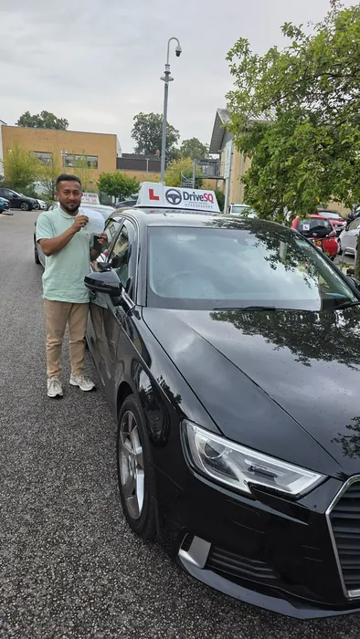
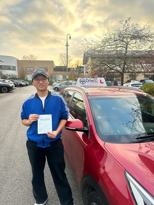
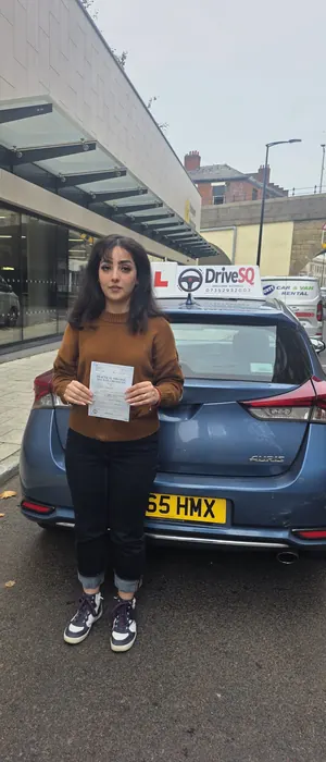
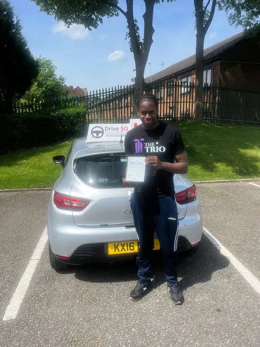
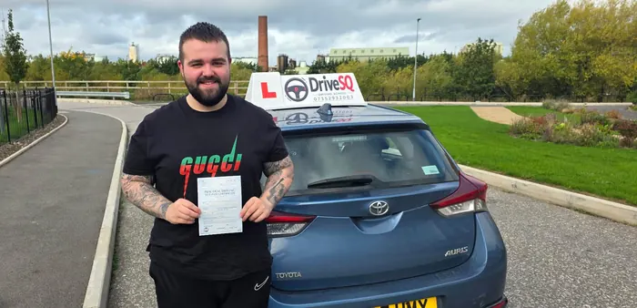
Recent DriveSQ passes
Real DriveSQ learners on the day they passed.
Other Bolton areas
More for Bolton learners
Bolton neighbourhoods
Where this data comes from
DVSA and Bolton Council pages and Ordnance Survey open data, checked 9 November 2026.
- GOV.UK — Find a driving test centre (DVSA)
- GOV.UK — Find a theory test centre
- DVSA — Car driving test and theory test data by centre (DRT122A–F, DRT112A)
- GOV.UK — Check which driving test centres you can move your test to (updated 15 October 2026)
- Ordnance Survey — Code-Point Open and OS Open Roads (Contains OS data © Crown copyright and database right 2026)
- Bolton Council — Bus lane locations and hours of operation (PDF)
- Bolton Council — Twenty's plenty for Bolton (16 February 2017)